• Skip to primary navigation
  • Skip to main content
  • Texas A&M Forest Service
  • Texas A&M Veterinary Medical Diagnostics Laboratory
  • Texas A&M AgriLife Extension Service
  • Texas A&M AgriLife Research
  • Texas A&M College of Agrculture and Life Sciences
Texas A&M College of Agriculture and Life Sciences
Lidar Applications for the Study of Ecosystems with Remote Sensing Laboratory
  • Menu
  • Home
  • Projects
    • Current Projects
      • Unmanned Aerial Systems for Agriculture
      • NASA ICESat 2 Science Definition Team: Improving Estimates of Forest Biophysical Parameters with an Integrated Multi-Scale Approach
      • NASA Rapid Response: Using LiDAR to develop a climate-driven model of the disintegration and decay of trees killed during a severe drought
      • USDA NIFA: Aerial and Ground Phenotyping Analytical Tool Development for Plant Breeders Using the Maize G2F project
      • ESSM Sonora Savanna Research Initiative
    • Past Projects
      • Past Projects
  • Publications
  • Media
  • People
  • Contact
  • Join Lab

Home

  • sorin-eric-ryan-EarthDay
    LASERS lab team members at Earth Day event
  • class scan tls
    3-D laser scan of graduate students in class (ESSM 656 - Advanced Remote Sensing)
  • uav_weeds2
  • Sorghum 3D point cloud generated using structure from motion methods
    Sorghum 3D point cloud generated using structure from motion methods
  • lidar_survey2
    3D Data Capture over Agriculture Field using a Terrestrial LiDAR Scanner
  • treedecay1
    Measuring Tree Disintegration and Decay using Terrestrial LiDAR Data
  • Terrestrial LiDAR scan of Oak trees
    Terrestrial LiDAR scan of Oak trees

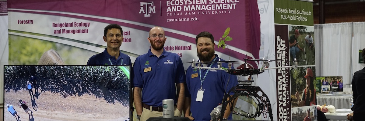
Welcome to the LASERS lab

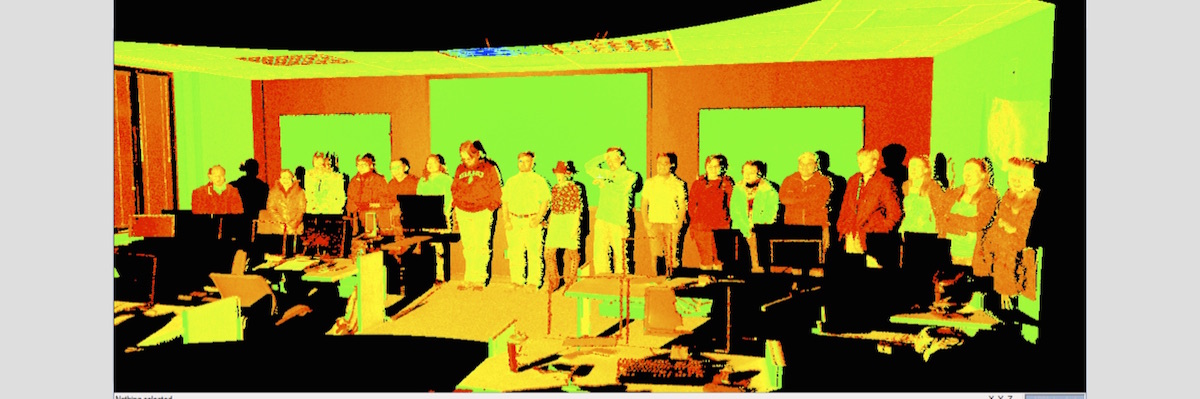
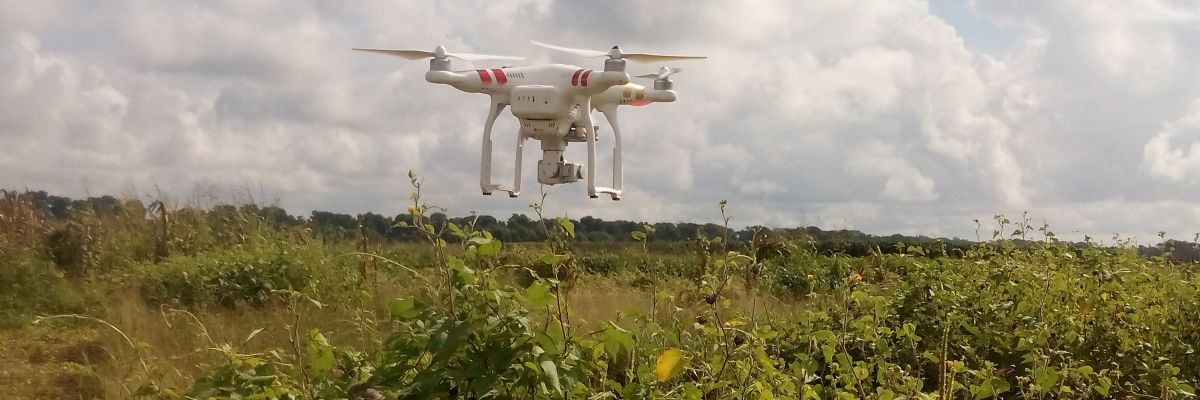
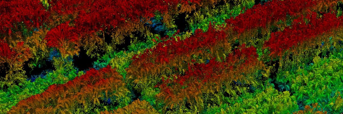
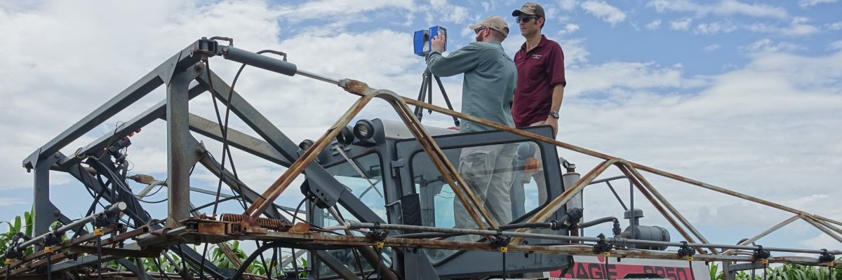
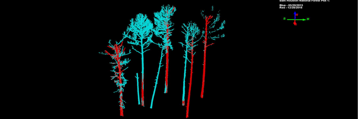
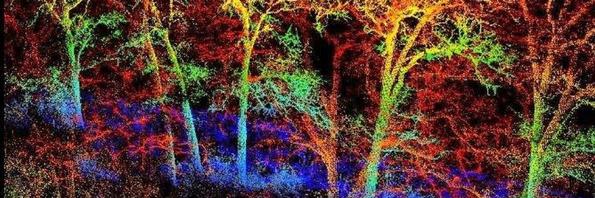
The LASERS Lab conducts research in remote sensing of the environment, with a core component in laser or lidar remote sensing of three-dimensional vegetation structure using data from sensors on terrestrial, airborne and spaceborne platforms. The lab focuses on algorithmic developments to derive vegetation biophysical parameters, including biomass, carbon, forest fuels, fire risk, and other structural metrics that enable advanced research in ecological and earth system sciences. The lab owns and operates advanced laser scanning and imaging systems on terrestrial and UAV/UAS platforms and uses state of the art remote sensing methods for assessing ecosystem dynamics and land cover mapping.

Lead PI

Dr. Sorin Popescu
Dr. Sorin Popescu

Professor, Dept. of Ecology and Conservation Biology

Projects

  • ICESAT-2 Applications
  • Unmanned Aerial Systems Project for Precision Agriculture
  • Tree Decay Asessment using Terrestrial LiDAR
  • USDA NIFA: Aerial and Ground Phenotyping Analytical Tool Development for Plant Breeders Using the Maize G2F project
  • ESSM Sonora Savanna Research Initiative

News/Updates

  • Texas A&M Scientist At Forefront Of New 3-D Satellite Imaging System – February 2018
  • 3-D Crop Imaging Helps Farmers Estimate Plant Height – October 2017
  • Grant aids phenotyping tool development – June 2017
  • Tan Zhou Receives NSF Doctoral Dissertation Improvement Grant – May 2017
  • Compact with Texans
  • Privacy and Security
  • Accessibility Policy
  • State Link Policy
  • Statewide Search
  • Veterans Benefits
  • Military Families
  • Risk, Fraud & Misconduct Hotline
  • Texas Homeland Security
  • Texas Veterans Portal
  • Equal Opportunity
  • Open Records/Public Information
Texas A&M University System Member