Unmanned Aerial Systems Project for Precision Agriculture and High-throughput Field Phenotyping, 2015 – 2017
Rationale
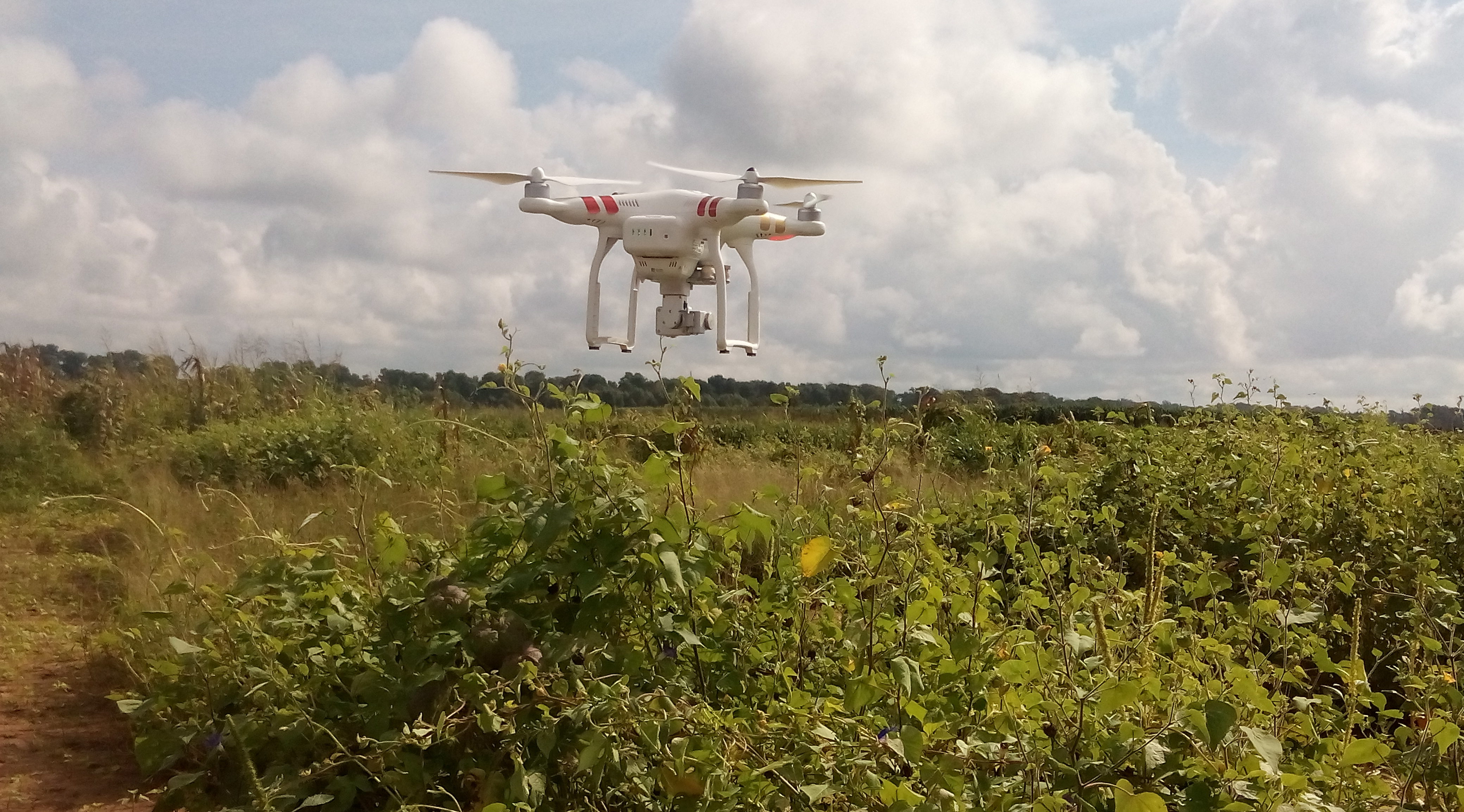
Many breeding and agronomic projects spend a significant amount of time and effort manually collecting routine phenotypic data on segregating populations, such as plant height, plant population, flowering time and yield to better understand their crop and control for associated field variation. As plant breeders and agronomists seek to understand plant physiology, genetics of quantitative traits and the influence of environmental conditions during the whole plant growth cycle, automated data collection systems that can more easily conduct periodic collection of large volumes of crop phenotypic data are required. Unmanned aerial systems together with image processing methods such as structure from motion have a good potential for expediting the collection of phenotypic data such as plant height and plant condition through detailed spatio-temporal imaging of crops.
Goals and Objectives
The overall goal of the project was to evaluate small unmanned aerial systems for detailed crop imaging and to develop image analysis methodologies for generating temporal plant height information for maize and sorghum crops that could be applied for breeding, physiology, agronomy and production. The specific objectives included:
- Evaluate small unmanned aerial systems for aerial crop surveying;
- Investigate the ability of Structure from Motion (SfM) techniques to derive accurate 3D point clouds of the plant canopy across different genotypes in two species;
- Develop a remote sensing processing workflow to derive relevant plant height metrics and relate these to measured plant canopy height and structural parameters;
- Investigate the accuracy of SfM plant height estimates when compared to ground and terrestrial LiDAR scanning measurements.
People
The project was supported by Texas A&M AgriLife Research (AgriLife) in cooperation with other Texas A&M University entities: the Texas Engineering Experiment Station (TEES); the Center for Geospatial Applications and Technologies (GEOSAT) and 40 interdisciplinary faculty across departments at Texas A&M. Several people are working on this project including:
- Sorin Popescu (Collaborator/PI, Dept. Ecosystem Science & Management)
- Seth Murray (Collaborator/PI, Dept. Soil and Crop Sciences)
- William Rooney (Collaborator/PI, Dept. Soil and Crop Sciences)
- Lonesome Malambo ( Assistant Research Scientist, Dept. Ecosystem Science & Management)
Project publications
- Malambo, S. Popescu, N.W. Ku, W. Rooney, T. Zhou, S. Moore, 2019. A Deep Learning Semantic Segmentation-Based Approach for Field-Level Sorghum Panicle Counting. Remote Sensing 11(24), 2939. https://doi.org/10.3390/rs11242939
- Malambo, L., C. Popescu, D.W. Horne, A.N. Pugh, W.L. Rooney, 2019. Automated detection and measurement of individual sorghum panicles using density-based clustering of terrestrial lidar data. ISPRS Journal of Photogrammetry and Remote Sensing 149:1-13. https://doi.org/10.1016/j.isprsjprs.2018.12.015
- L. Anderson, S.C. Murray, L. Malambo, C. Ratcliff, S. Popescu, D. Cope, A. Chang, J. Jung, and J.A. Thomasson. 2019. Prediction of Maize Grain Yield before Maturity Using Improved Temporal Height Estimates of Unmanned Aerial Systems. The Plant Phenome Journal 2(1): 1-15. https://doi.org/10.2135/tppj2019.02.0004
- Han, X., J.A. Thomasson, G.C. Bagnall, N.A. Pugh, D.W. Horne, W.L. Rooney, J. Jung, A. Chang, L. Malambo, C. Popescu, I.T. Gates, and D.A. Cope, 2018. Measurement and Calibration of Plant-Height from Fixed-Wing UAV Images. Sensors 18, (4092). http://dx.doi.org/10.3390/s18124092
- Pugh, N., D.W. Horne, S. Murray, G. Carvalho, L. Malambo, J. Jung, A. Chang, M. Maeda, C. Popescu, T. Chu, M. Starek, M. J. Brewer, G. Richardson, and W.L. Rooney, 2018. Temporal Estimates of Crop Growth in Sorghum and Maize Breeding Enabled by Unmanned Aerial Systems. The Plant Phenome Journal 1:170006 doi:10.2135/tppj2017.08.0006
- Malambo, S.C. Popescu, S.C. Murray, E. Putman, N.A. Pugh, D.W. Horne, G. Richardson, R. Sheridan, 3 B. Rooney, R. Avant, M. Vidrine, B. McCutchen, D. Baltensperger, M. Bishop, 2018. Multitemporal Field-based Plant Height Estimation using 3D Point Clouds Generated from Small Unmanned Aerial Systems High-resolution Imagery, International Journal of Applied Earth Observation and Geoinformation 64: 31-42. https://doi.org/10.1016/j.jag.2017.08.014
- Shi Y, J.A. Thomasson, S.C. Murray, N.A. Pugh, W.L. Rooney, S. Shafian, N. Rajan, G. Rouze, C.L.S. Morgan, H.L. Neely, A. Rana, M.V. Bagavathiannan, J. Henrickson, E. Bowden, J. Valasek, J. Olsenholler, M.P. Bishop, Sheridan, E.B. Putman, S. C. Popescu, T. Burks, D. Cope, A. Ibrahim, B.F. McCutchen, D.D. Baltensperger, R.V. Avant, Jr, M. Vidrine, C. Yang, 2016. Unmanned aerial vehicles for high-throughput phenotyping and agronomic research. PLoS ONE 11(7): e0159781. DOI:10.1371/journal.pone.0159781.